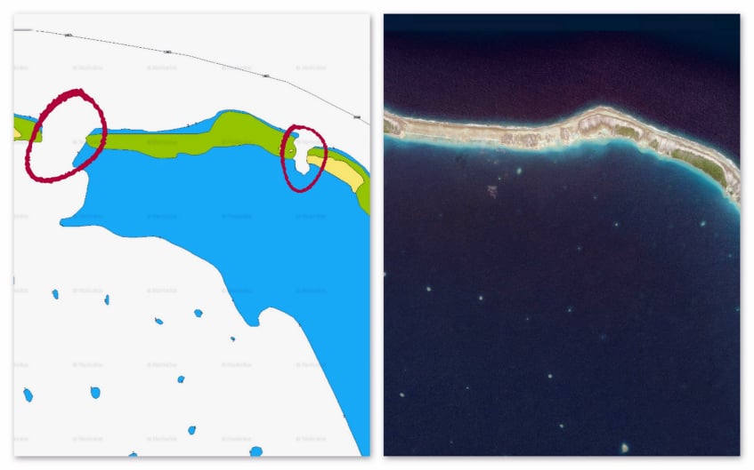
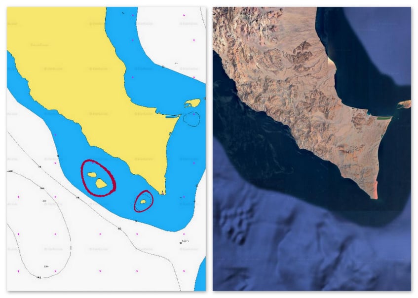
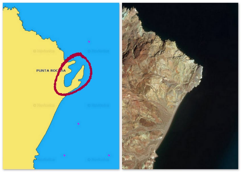
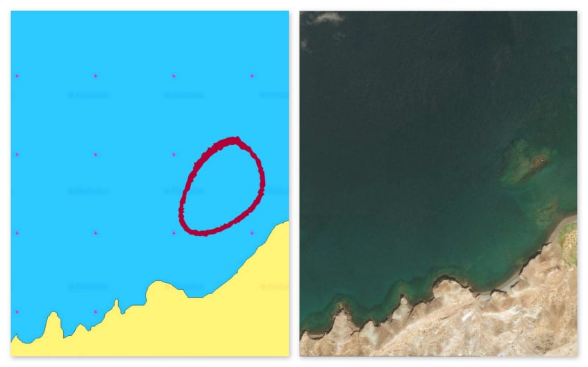
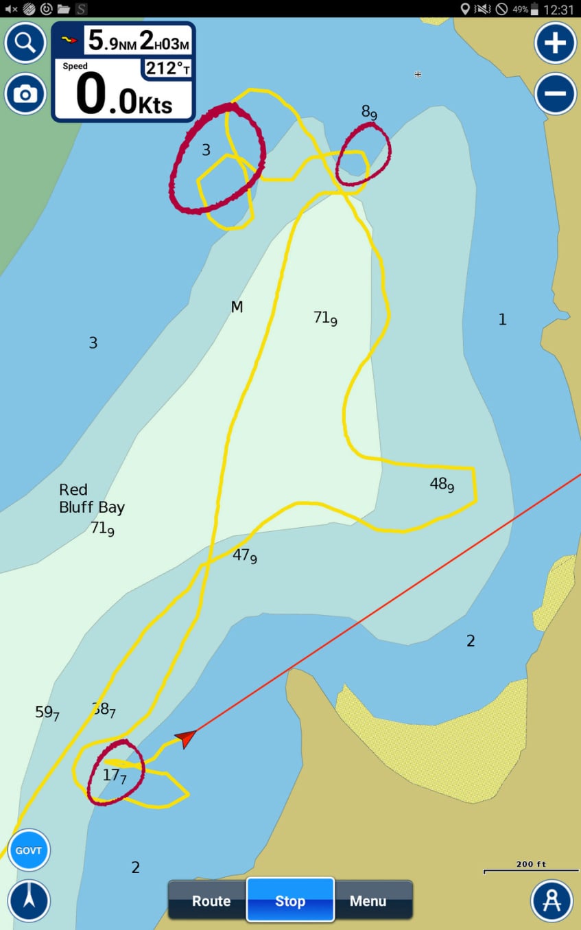
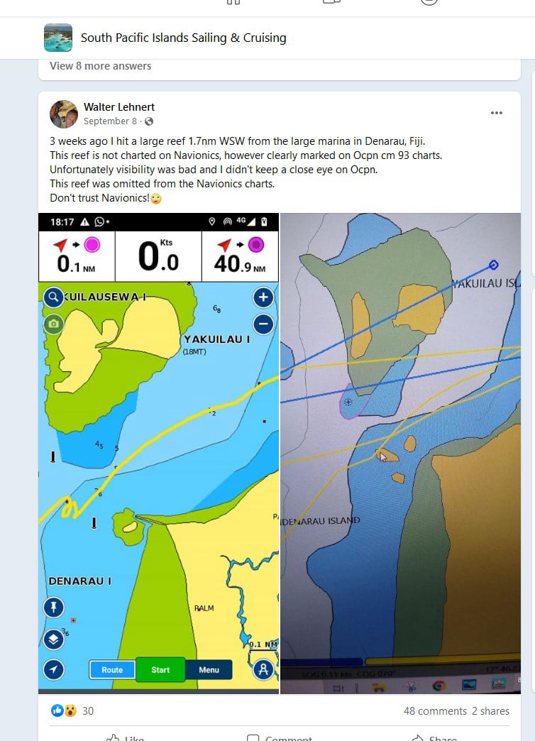
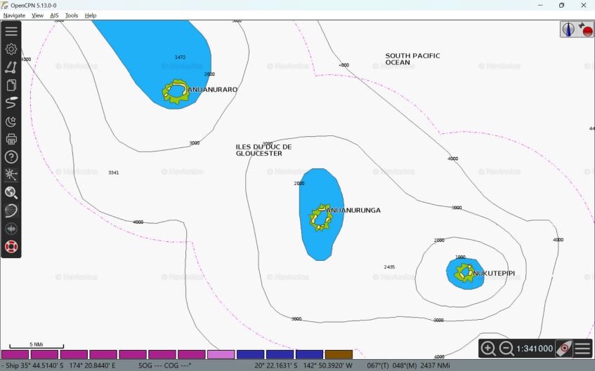
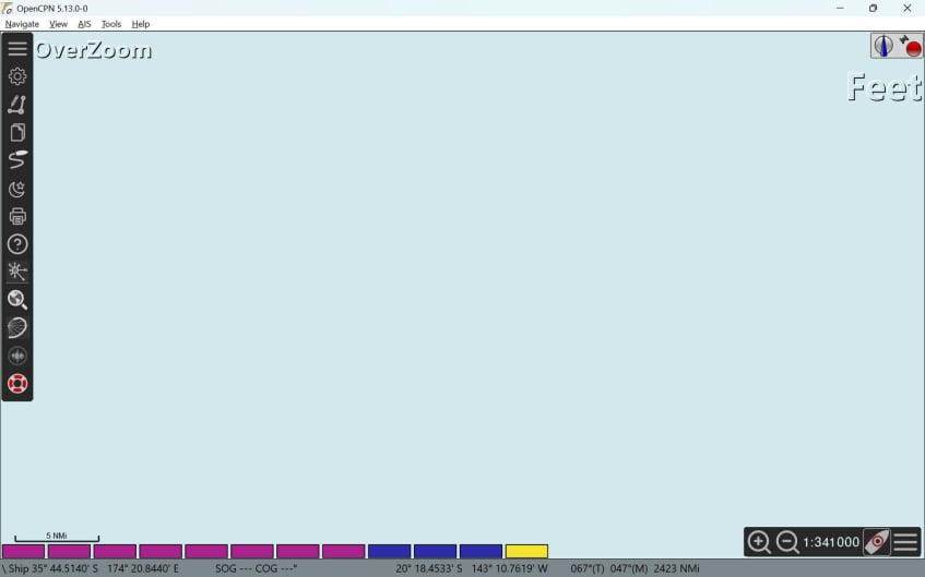
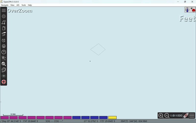
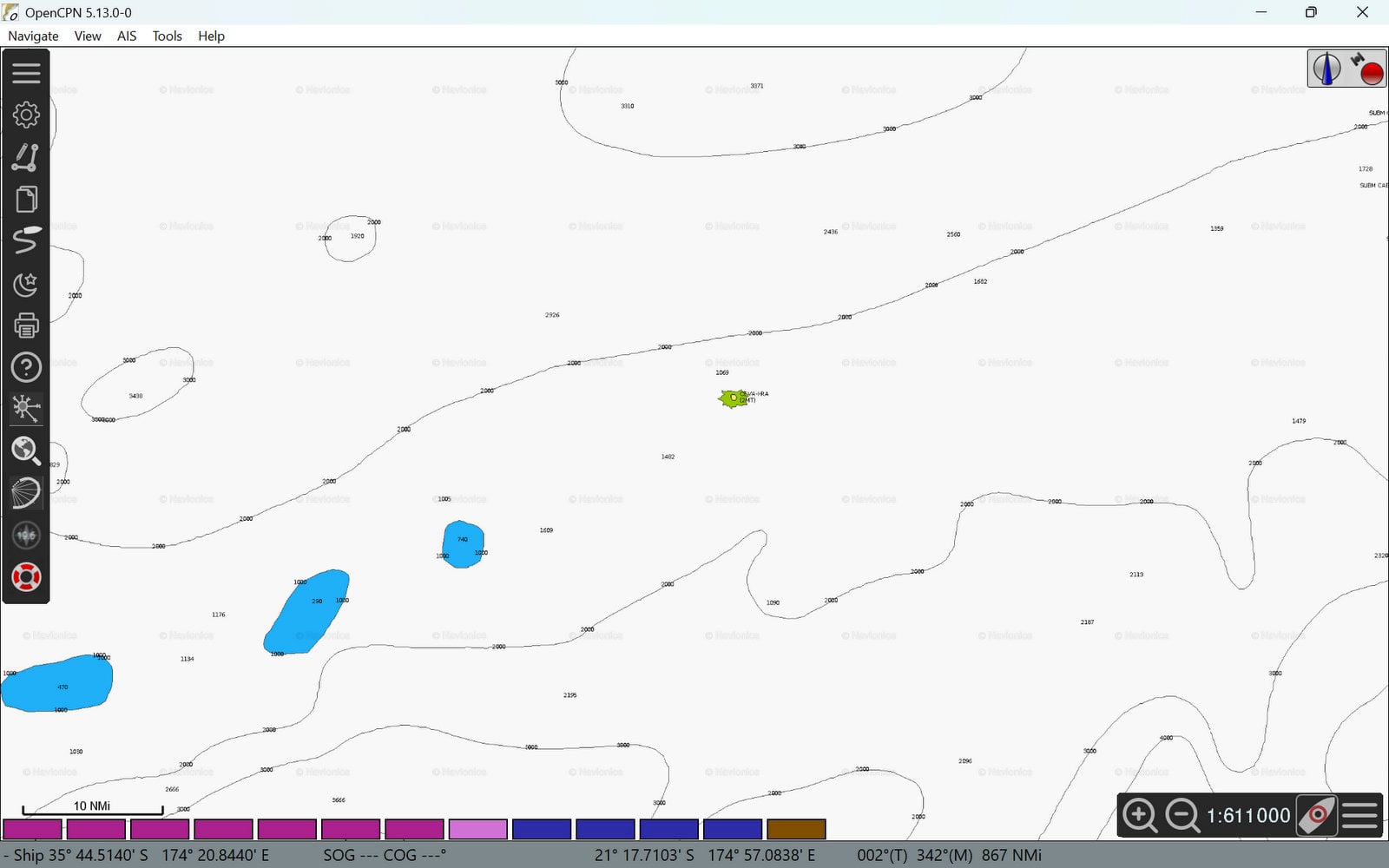
Don't Let Your Chartplotter
Wreck Your Boat

Using a single source for charts
can lead to disaster

Marine charts and satellite images are made by humans or by software programmed by humans.

Humans make mistakes.

Mobirise

NAVIONICS

One of the most popular charting sources... but can you trust it?
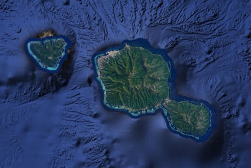
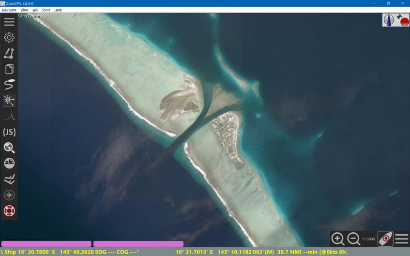
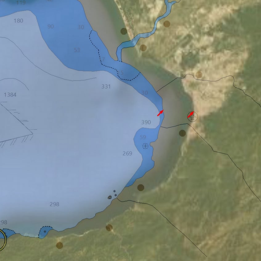
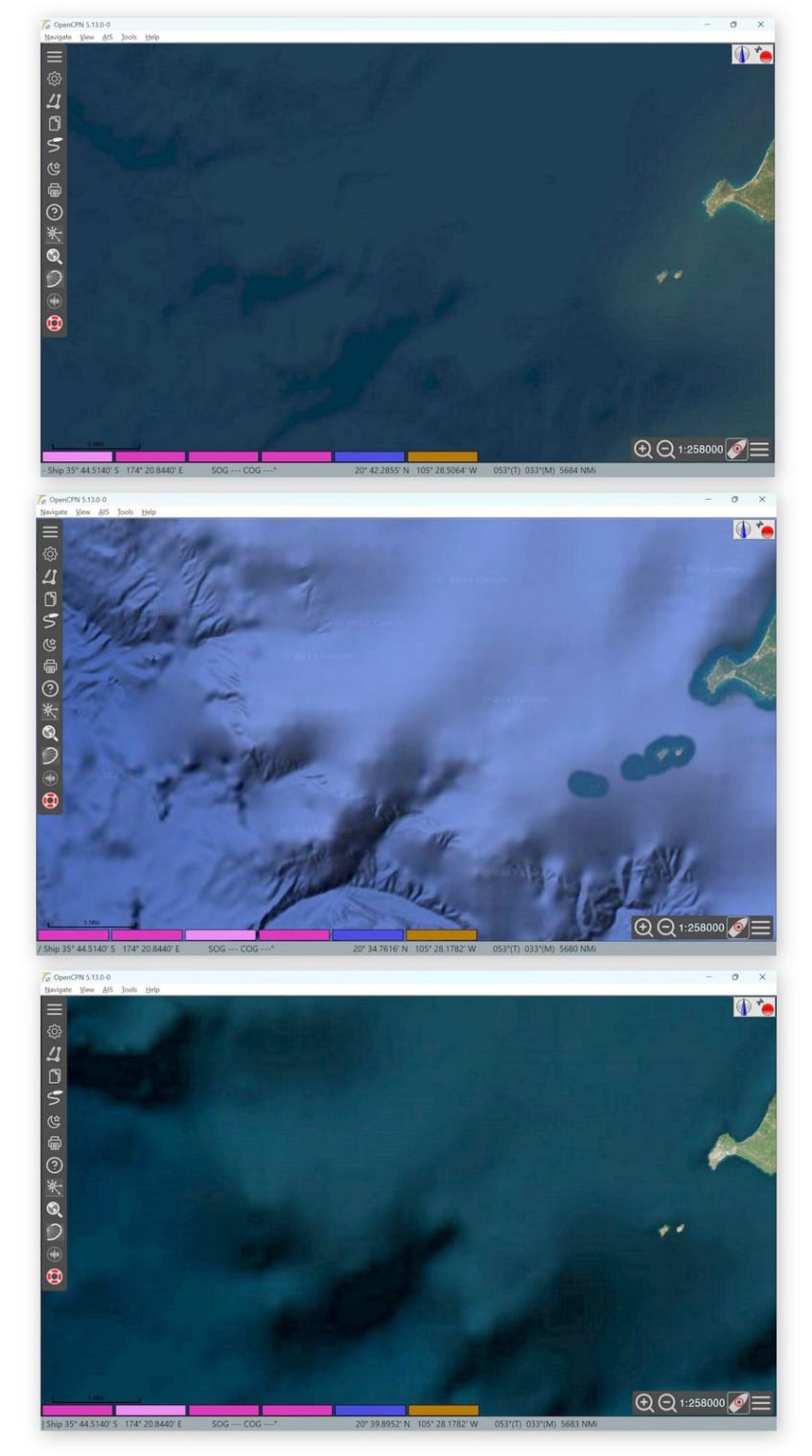
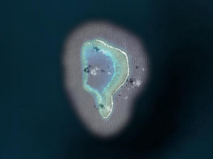
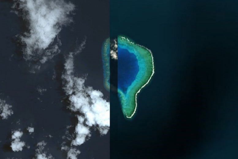
Mobirise

SATELLITE IMAGES

Satellite photographs don't always show what you need to see.
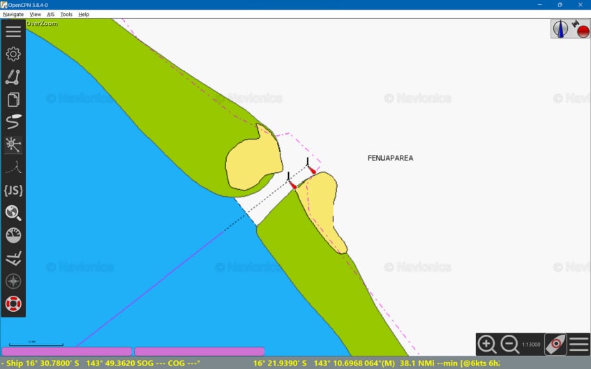
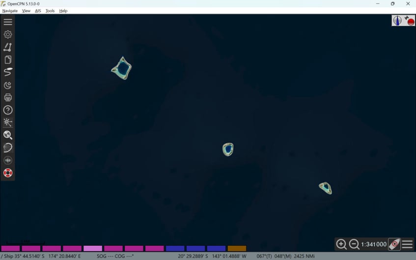
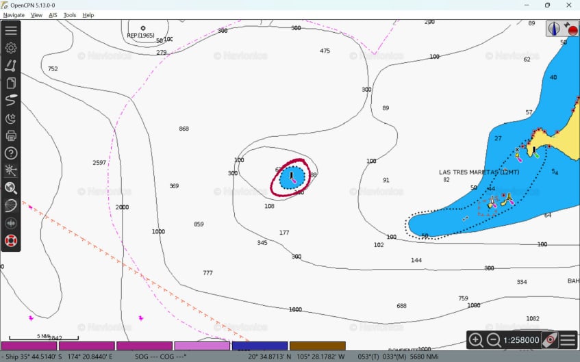
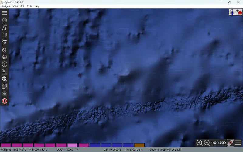
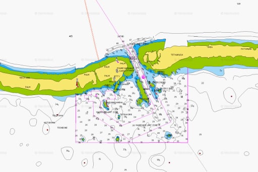
Mobirise

CM93

An older—but popular—option that isn't accurate in some areas.
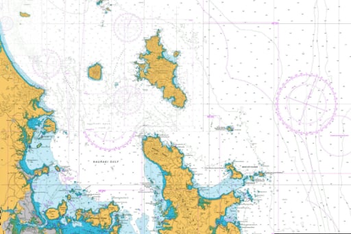
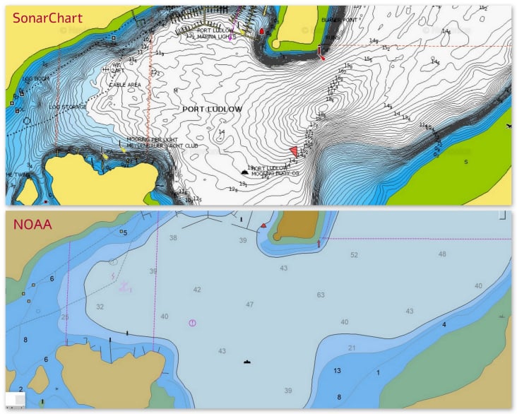
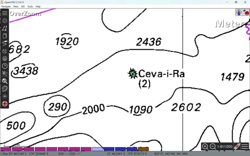
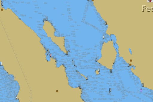
Mobirise

OFFICIAL CHARTS 

Even NOAA chart experts will admit that all charts have errors.

Hey, I use Navionics and update my charts all the time. Garmin is a huge company with lots of resources, surely their charts are accurate...

Tahanea, Tuamotus

This Navionics chart shows two non-existent passes at the north end of Tahanea in the Tuamotus of French Polynesia.

Tahanea, Tuamotus

Navionics displays several islands to the southwest of Isla Angel de la Guarda in the Sea of Cortez, Mexico.
They don't exist.

Tahanea, Tuamotus

Over on the east side of the same island, Navionics tells us there is a sweet bay offering great protection from a southerly. It's not there.

Tahanea, Tuamotus

In Puerto Refugio, notice the reef in the anchorage. Which chart would you rather use when anchoring?

Tahanea, Tuamotus


OK, those were some remote places. But what about Navionics in the USA? Here's Red Bluff Bay in Alaska. Notice our track as we looked for an anchoring spot. The areas that were supposed to be shallow were too deep to anchor.

But Navionics offers SonarCharts™. They have lots more data so they must be accurate...

Tahanea, Tuamotus

Much of the SonarChart data is crowd-sourced. Do you trust your boat to someone else's depth sounder? And lots of those lines are mathematically estimated so the charts can look more accurate than they really are.
A lot of info creates clutter on the screen. The NOAA chart is far easier to use when anchoring.

Tahanea, Tuamotus


Entering the pass at Taenga, French Polynesia, would you rather navigate with this?

Tahanea, Tuamotus


Or this?

I stay near marinas,
so does this really matter?
Ask this sailor...

Tahanea, Tuamotus

The post reads:

3 weeks ago I hit a large reef 1.7nm from the large marina in Denarau, Fiji. This reef is not charted on Navionics, however clearly marked on OpenCPN CM93 charts. Unfortunately visibility was bad and I didn't keep a close eye on OpenCPN. This reef was omitted from the Navionics charts. Don't trust Navionics!

(Misinformation on Navionics charts has also been cited as the cause of boats hitting the reef at the southwest corner of Huahine, French Polynesia.)

Okay, Navionics has some flaws. But I use CM93 charts in OpenCPN. They cover the entire world and they’re great.

Tahanea, Tuamotus

Have you used CM93 charts in Mexico? The CM93 coast is nearly 2NM west of the actual coast in this layered satellite image of Banderas Bay. 

Tahanea, Tuamotus

Here's the satellite image of the three atolls of the Îles du Duc de Gloucester of the Tuamotus, French Polynesia

Tahanea, Tuamotus


This is Navionics.

Tahanea, Tuamotus


And CM93.

They aren't there.
Zip.
Nothing.

OK, I get it. I need to trust satellite images. Right?
Wrong.

Tahanea, Tuamotus

All satellite images are not created equal.

Which of these is a more accurate image of the pass at Katiu Atoll in the Tuamotus?

Tahanea, Tuamotus


Satellites don't capture everything.
Here's Roca Corbeteña near Puerto Vallarta, Mexico.

Tahanea, Tuamotus


And here are three satellite images of the same area. Three different sources—Google Earth, Bing Satellite, & ArcGIS—and none of them show this rock.

Tahanea, Tuamotus


Which is not that small of a rock...

I get it. I need satellite images. But Google's been offering sat images for a long time. Just those should be enough...

Tahanea, Tuamotus


Here's an ArcGIS image of Malevuvu in Fiji.

Tahanea, Tuamotus


This is Bing Satellite. Not quite as good -- notice a section is missing.

Tahanea, Tuamotus


And Google?
It's not even there.

This is getting confusing.

 Yep. Safe navigation takes effort. It's not just steering a representation of your boat around obstacles on a chart plotter. Using the wrong chart can lead to disaster.
Ceva-i-ra to the southwest of Fiji looks very different on each of these charts... and it doesn't even appear on the satellite image.

Enough already!
If I can't trust any chart,
what's the solution?

Using multiple chart sources with OpenCPN is the answer. With properly configured chart groups, OpenCPN lets you switch between multiple chart sources with a single keystroke.
(Press <play> below.)

If you don't yet know how to use chart groups in OpenCPN, here's a tutorial.
Mobirise


Remember, your eyes are your best navigation tool.
And the best aid to navigation is daylight.

Complacency is
more dangerous
 than the sea.